

/ Architectural Design / Services
Sample Spatial Data
Representative Outputs, Equipment & Survey Approach for Aerial LiDAR and 3D Documentation Projects
/ Sample Spatial Data
This page presents representative examples of spatial data outputs, equipment, and survey methods used in our aerial LiDAR and 3D documentation projects.
It is intended to help clients understand:
- The type of outputs we deliver
- The formats in which data is shared
- The equipment and platforms typically deployed
- The general survey process and limitations associated with aerial data capture
01
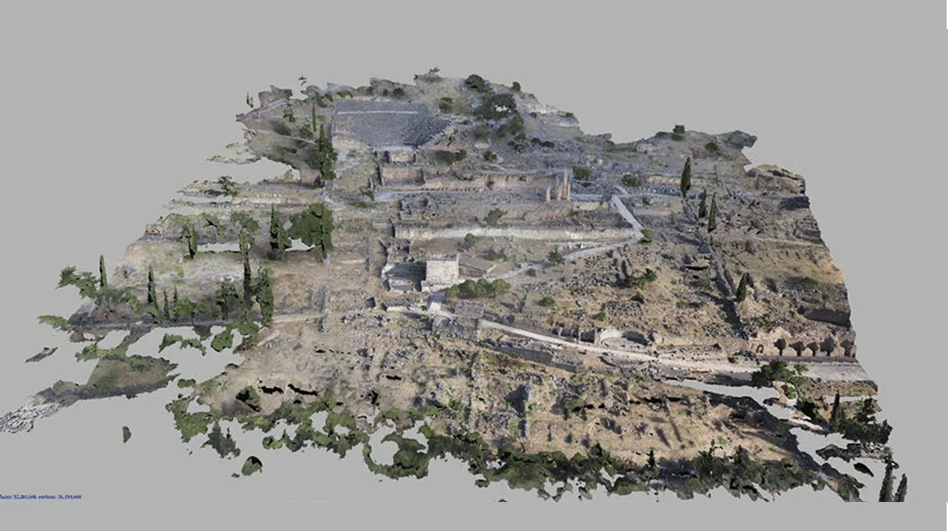
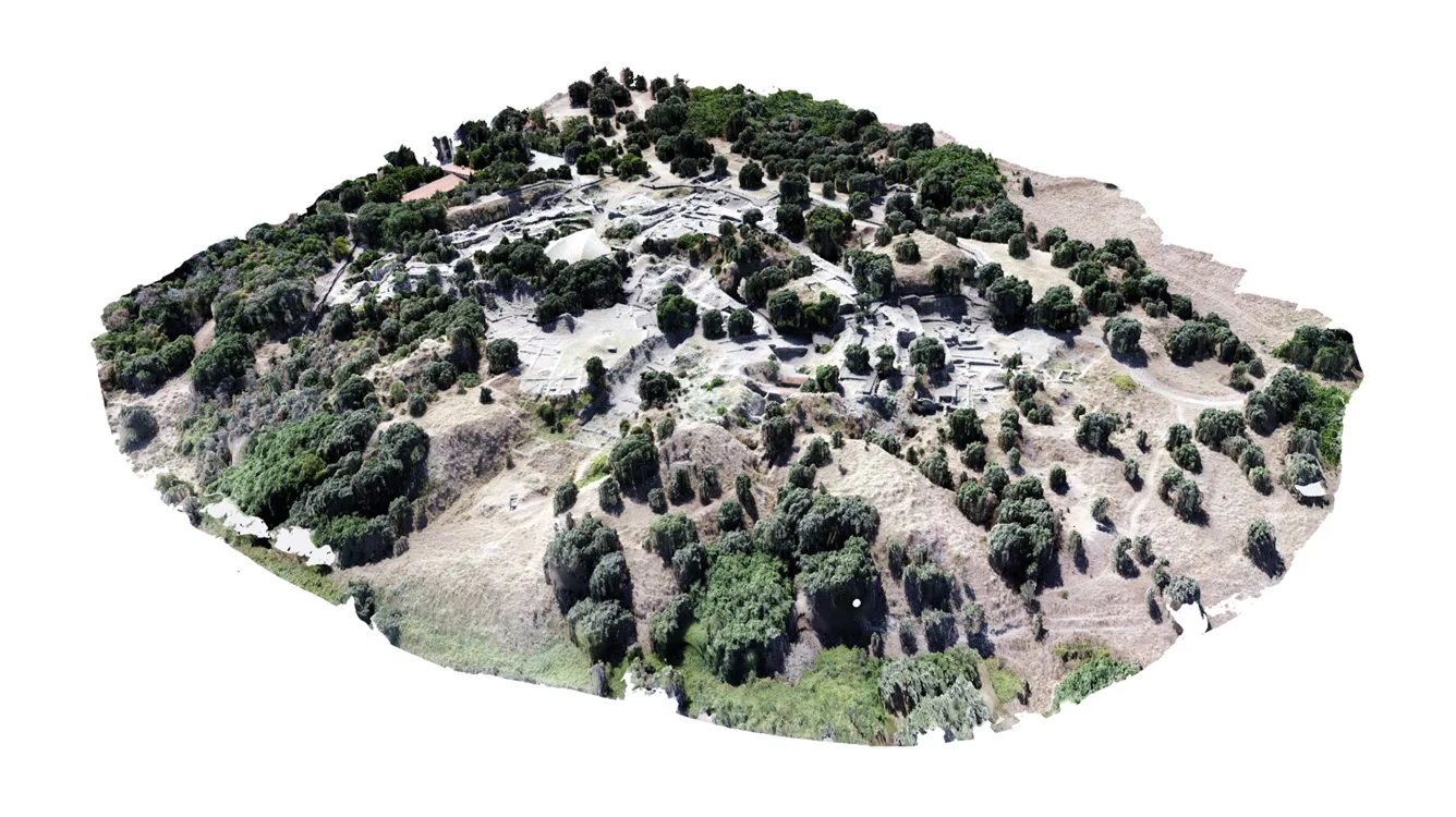
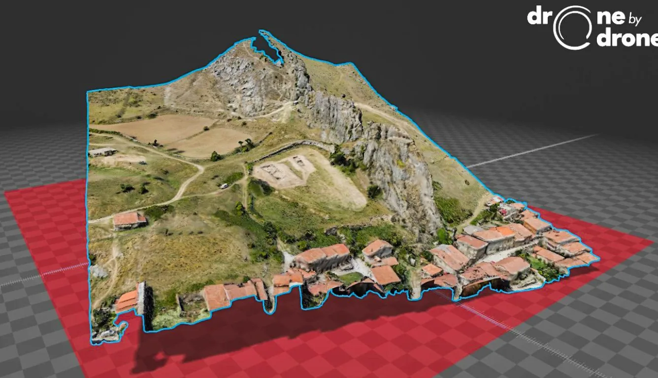
3D Model Outputs (Surface & Feature Models)
We produce three-dimensional surface and feature models representing visible terrain and exposed features captured during aerial surveys.
Formats
- OBJ
- GLB
- FBX
These formats are compatible with
- GIS platforms
- 3D viewers
- Web-based visualization tools
- Reporting and presentation workflows
Delivery
- Secure cloud links
- Web-hosted viewers (for review and reference)
- Downloadable files for local use
02
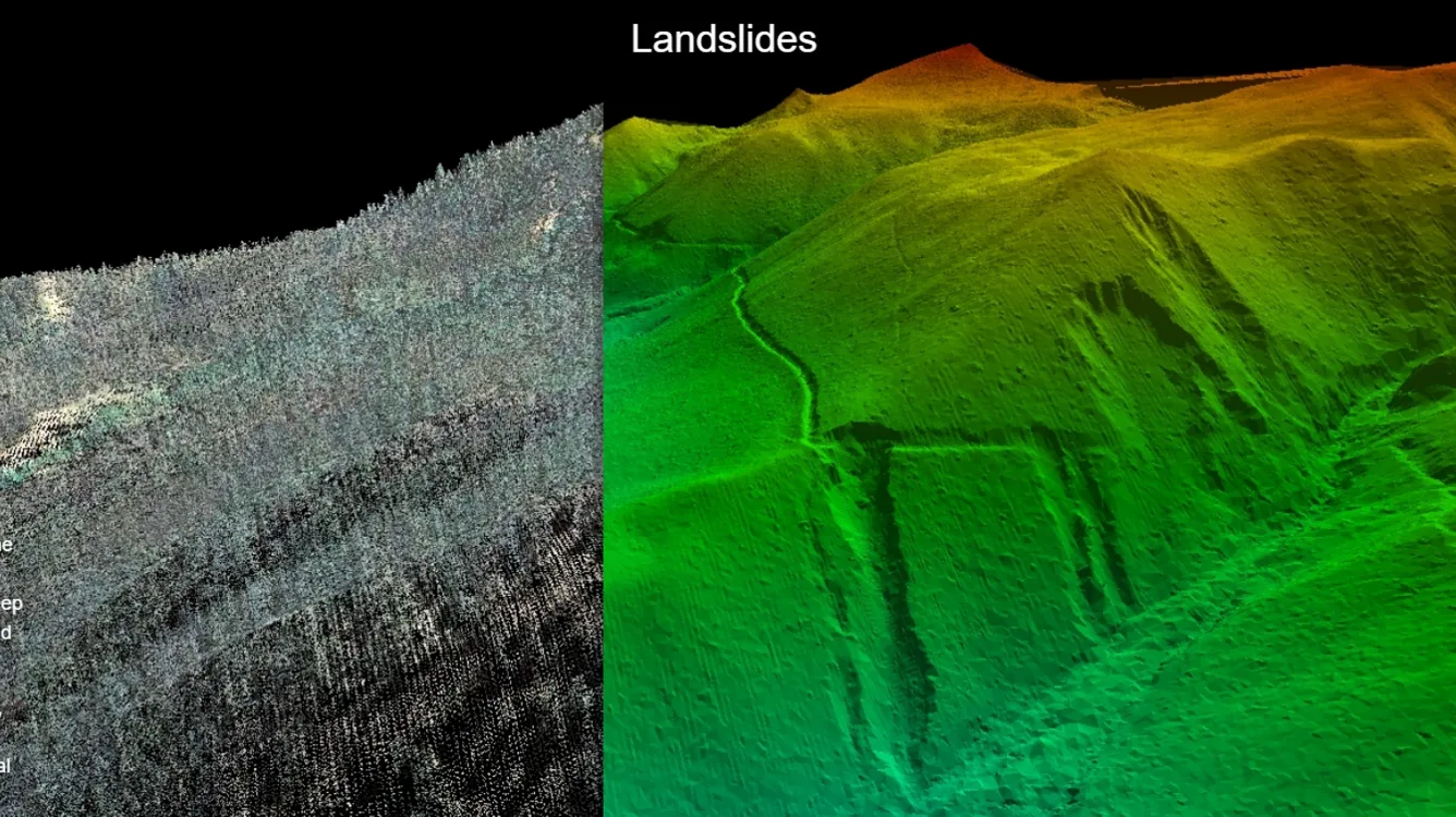
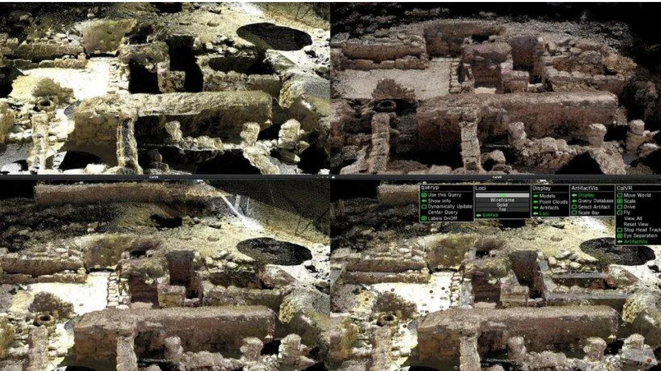
LiDAR Point Cloud Outputs
LiDAR point clouds capture three-dimensional spatial measurements of terrain and visible surfaces using aerial laser scanning.
Formats
- LAS / LAZ
- PTX / PTS (where applicable)
Typical uses
- Terrain analysis
- Surface interpretation
- Generation of derived products (e.g., hillshades, contours, meshes)
- Archival documentation
Point cloud data is delivered digitally via secure cloud storage.
03
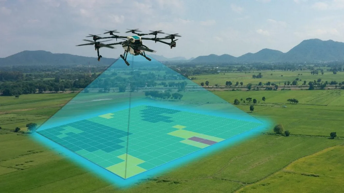
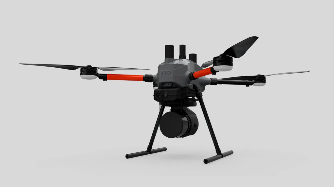
UAV (Drone) Platforms
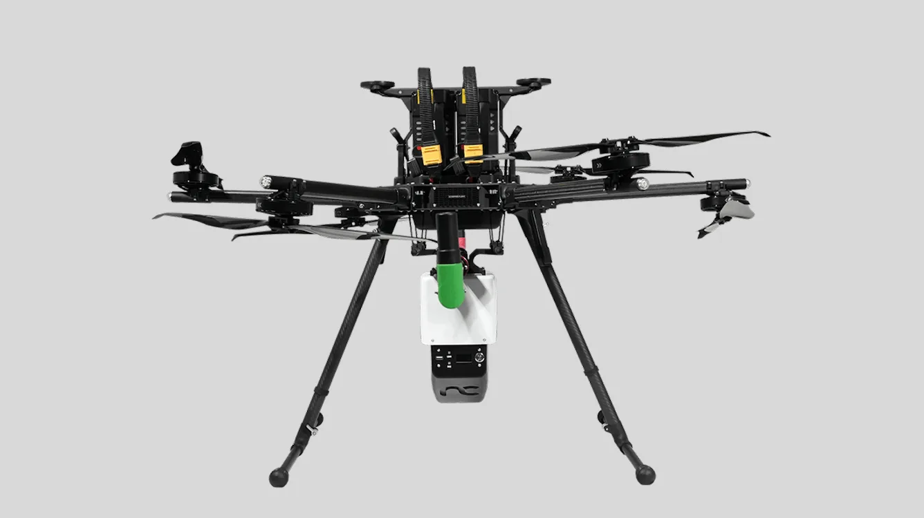
We conduct surveys using multirotor UAV platforms suitable for low-altitude, high-resolution spatial documentation.
Typical UAV categories include
- Custom-built multirotor platforms
- Commercial multirotor UAVs of comparable capability
Equivalent UAV platforms may be deployed depending on site conditions, logistics, and operational requirements.
04
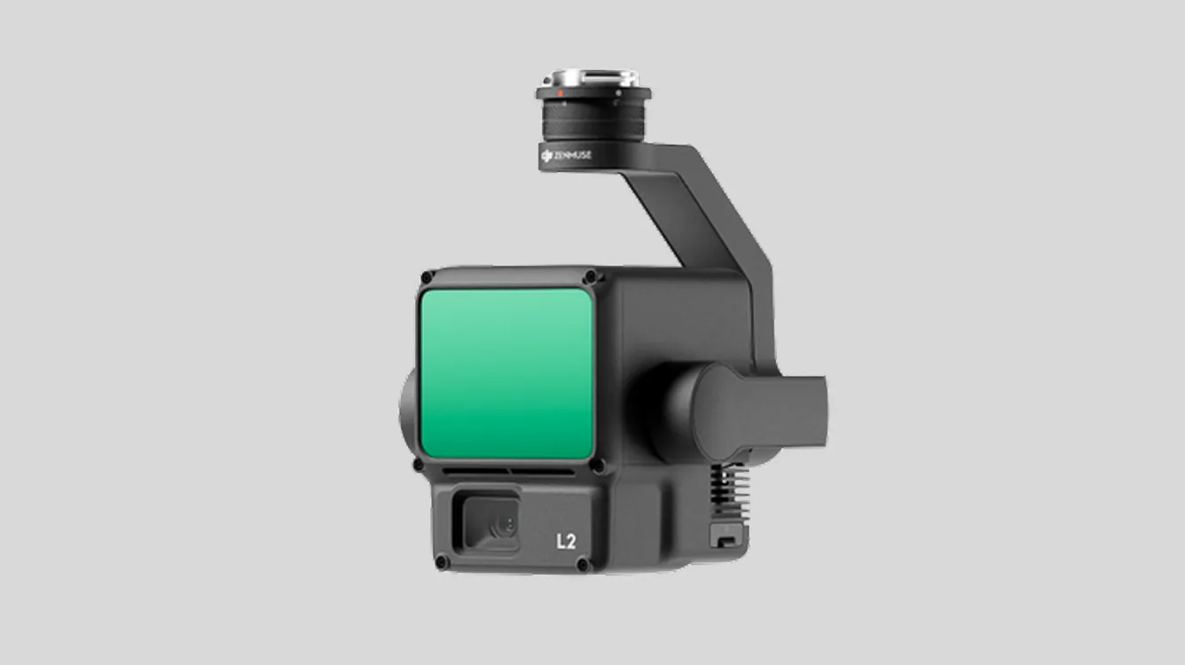
LiDAR Sensors
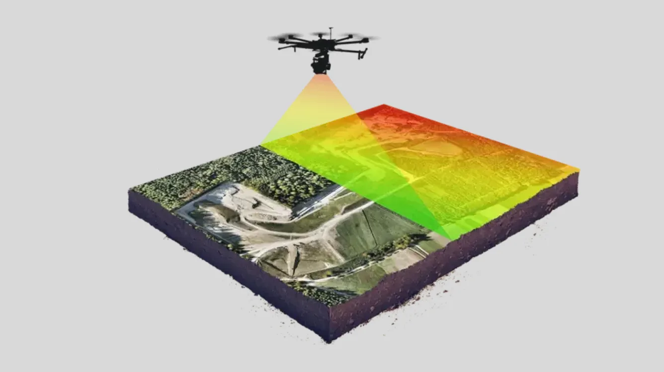
Our surveys utilize compact UAV-mounted LiDAR sensors designed for aerial terrain and surface documentation.
Sensor selection may vary based on
- Project scope
- Site accessibility
- Environmental conditions
Final outputs remain consistent with agreed delivery formats regardless of sensor model.
05
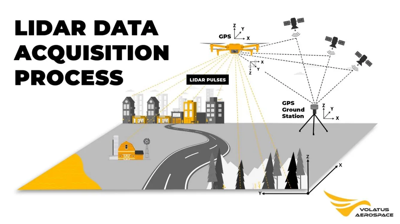
Survey Process (High-Level Overview)
Our typical aerial survey workflow includes
- Review of client-provided site boundaries
- Flight planning and on-site assessment
- Aerial data capture using visual line-of-sight (VLOS) UAV operations
- Data processing and generation of spatial outputs
- Digital delivery of agreed datasets
Surveys focus on visually clear terrain and exposed features observable from the air.
06
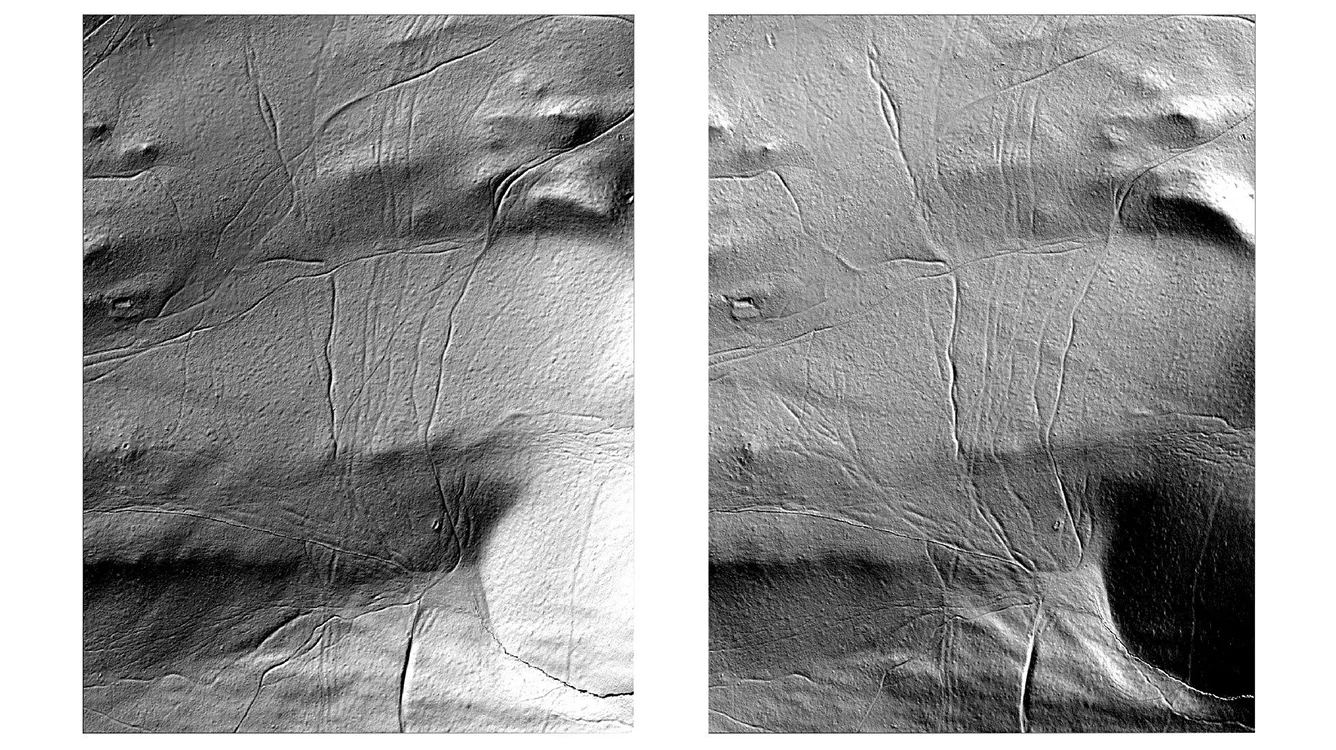
Derived Visual Outputs (Representative)
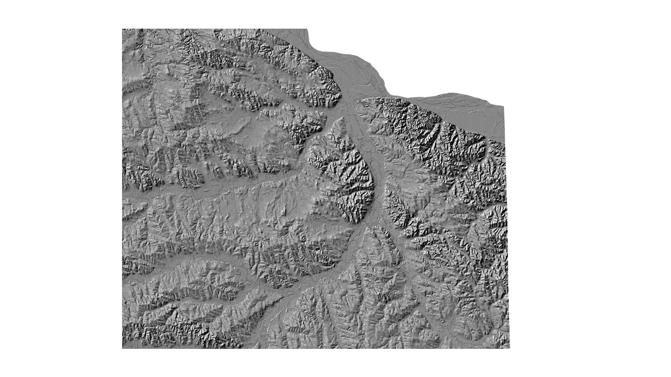
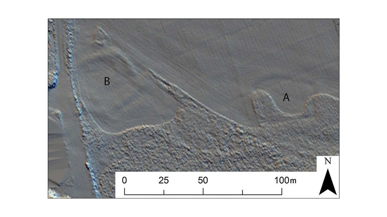
In addition to raw data, we may provide derived visual products to support interpretation and reporting, such as:
- LiDAR-derived hillshade images
- Orthographic (top-down) views of survey areas
- Representative screenshots for documentation
These outputs assist in visual analysis and communication of site features.
07
General Disclaimer & Limitations
Aerial LiDAR and drone-based 3D documentation are subject to inherent technical and environmental limitations.
Factors that may affect results include
- Vegetation density (trees, shrubs, ground cover)
- Surface visibility
- Weather and wind conditions
- Terrain complexity
- Stage of excavation or site exposure
Areas with dense vegetation or surfaces not visible from the air may produce limited or no usable data. Submerged or underwater features are outside the scope of standard aerial LiDAR surveys.
All outputs are provided for documentation, interpretation, and research purposes, and are not intended for certified engineering or construction use unless explicitly stated.
08
Use of Sample Data
The examples shown on this page are illustrative only and are intended to demonstrate:
- Output formats
- Typical level of detail
- General visualization style
Actual project deliverables may vary depending on site conditions and agreed scope.
/ Get a free consultation
Planning a survey?
Contact us.
For project-specific deliverables, equipment selection, or survey planning, please contact us to discuss your requirements.

/ Back to service