

/ Terrain Mapping
Mimar uses its innovative technology to deliver state-of-the-art topographic mapping services.
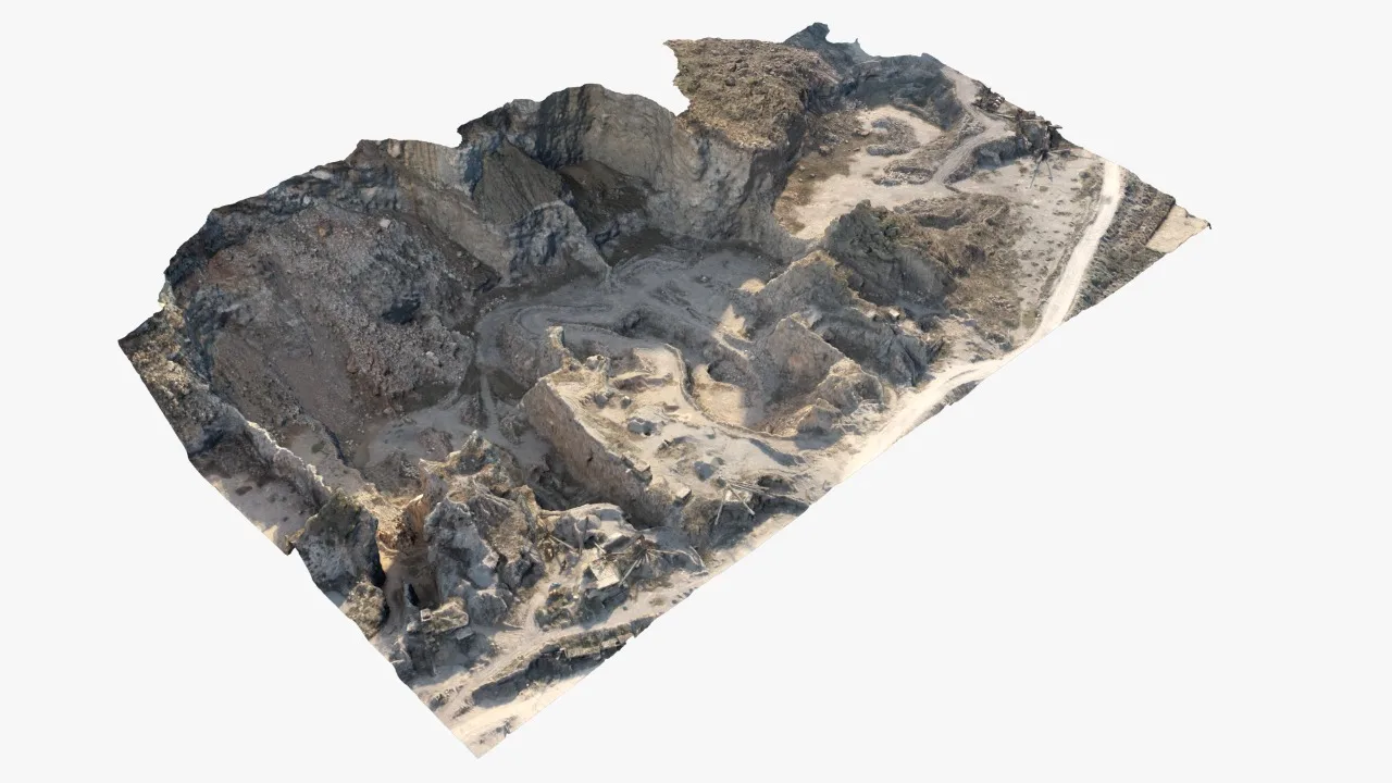
Our drones map out your site’s topography in 3D on-site to ensure accurate colors and textures. The terrain map shows the shape and location of the site, in addition to other useful features.
There are a number of features that can help you understand your property better. You can make better decisions based on these features such as water source, vegetation, roads, and streets, etc.
01
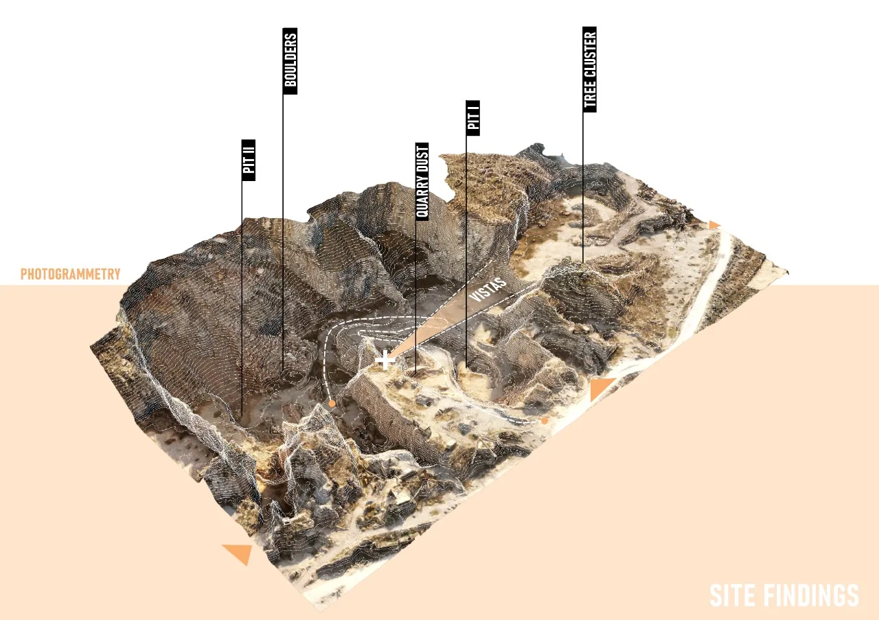
Site Findings
The terrain map records the shape of the site and the features that matter for planning, from pits and boulders to vegetation, access roads and vistas.
/ Get a free consultation
Have more questions?
Let’s talk.
Our team is ready to assist you with all your questions.

/ Back to service